Chiselbury Grove Strollers
Stonehenge Cursus, Woodhenge, Durrington Walls, Gay's Cave and Diamond and Lake House
25th February 2006
Photos by Peter Read
Back to Index Page


Anne,Pru and Mike at the start.
Temperature 5°C; Wind Strong
Peter, Pru and Mike.
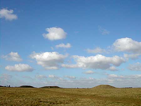
The Cursus Barrows on the horizon.
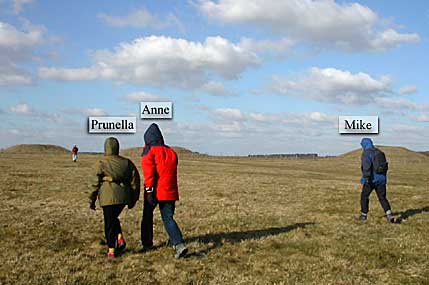
Walking past the barrows
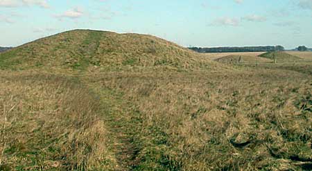
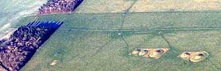
Close up of Barrows
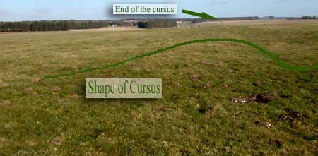
Looking East along the Cursus
WOODHENGE , which is 3800 years old, dates from the Early Bronze Age. It is about 2 miles east of the Stonehenge Cursus. When built, it consisted of a series of six concentric timber rings oval in shape and open at the north-east to midsummer sunrise. It was surrounded by a henge ditch and bank with a NE causeway. Today the positions of the timbers are marked by concrete posts. Excavated in 1930.
Five miles by road from Stonehenge on the A345 road to Marlborough, Woodhenge overlooks the adjacent henge monument known as Durrington Walls . Woodhenge is always open and free. Grid reference SU 151 434.


General view of Woodhenge

Woodhenge
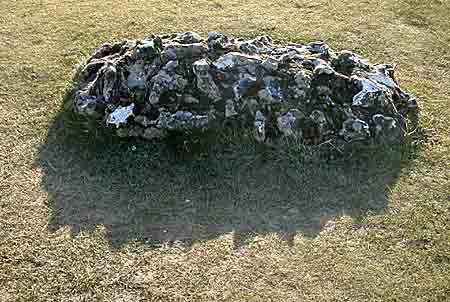
The Grave
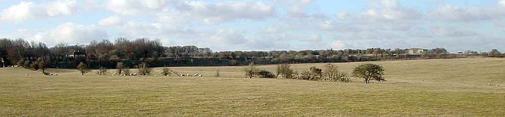
Durrington Walls [a view showing about a quarter of the ring]

Durrington Walls a close view

Gay' Cave and Diamond
AMESBURY - SU 1541 11/3 Gay's Cave and Diamond 10.1.53 GV II* Grotto, late C18, perhaps by Flitcroft or Chambers. Limestone facade and lining to chalk cut cave set in cliff over River Avon, and below defences of Vespasian's camp (landscaped Iron Age hillfort). Spoil forms front apron with inclined paths forming the 'diamond' in plan and elevation. Facade set at end of short dromos, an arch with springing and keyblocks, and an open cornice, all mouldings partly 'overgrown' with uncut rock-faced stone. Iron gates with fan top. Interior has square cell with arch headed niches each side, and to rear, an arch to an apse. Groined vault. Settings in floor for features now missing.
Probably the place used by John Gay to write 'The Beggar's Opera' and 'Polly' in seclusion during his long stay and patronage by the Duchess of Queensbury.

Snowdrops in the Woodford Valley
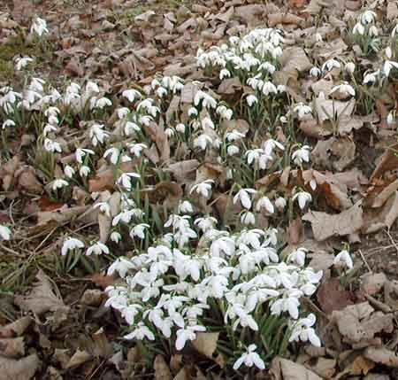
A Closer view of the Snowdrops

Lake House
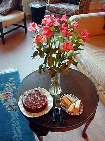
A Welcome at Pru's to finish.
Plus toasted tea cakes [not shown]
Back to Index Page
Stonehenge: more consultation
"Back to square one", said The Western Daily Press, reporting a Department of Transport release headed "Way forward". Minister Stephen Ladyman hoped that an "affordable, realistic and deliverable" solution to the A303 at Stonehenge could be found by early summer 2006. This would follow a 13 week consultation, to start in January, on "a shortlist of options" compiled by a steering group representing five government departments and offices, and English Heritage and Natural England. The review is driven by an increase in the bored tunnel cost from £284m at the time of the public inquiry, to £470m last July, when it was announced that the inspector favoured the proposed scheme. English Heritage is appealing against Salisbury district council's decision to refuse planning consent for a new visitor centre, which will now also be examined by public inquiry."We anticipate winning", said Stonehenge director Peter Carson.
Extract below taken from http://www.stonehenge-avebury.net/tour6.html
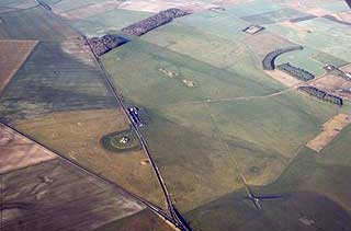
The Stonehenge Cursus
We then followed the southern edge of the Neolithic Cursus westwards to the remains of the much denuded Cursus Terminal (SU 109 429). But for the intervention of Julian Richards in the late 1980s who restored the terminal to its 1920s state, nothing would be seen of this terminal today, for it had been flattened earlier this century by the manoeuvres of the military. The Stonehenge Cursus is 2700 metres long and 100 metres wide at the terminals (maximum width 130 metres). To construct it in the third millennium BCE the people cut ditches into the chalk bedrock that were some 2 metres deep, 2 metres wide and a total of 5600 metres in length. It is likely that many thousands of trees were in the way as well. What could have motivated this huge endeavour? Indeed, how did it come about that communities throughout Neolithic Britain felt a need to have a cursus of their own, because over 100 cursuses are known to have been made - many of them over difficult ground, several of them crossing water courses?
A New Hypothesis: Until recently no testable proposal has been put forward. Only simple statements like "possibly a ceremonial processional way" or "athletics race course" or "hippodrome" have been made. But Dr Terence Meaden has set out at length a case for cursuses being prepared as memorial sites for tornado-ground-contact tracks, and that they were created in an epoch when the community believed in a Sky Father and an Earth Mother as part of their religion. The Florida Indians, the Cuban Indians and others are known, as a result of research interviews by anthropologists, to have adored the terrifying tornado funnel because they viewed it as the Sky God's phallus. A similar belief could have been held throughout Neolithic Britain including the society living in the vicinity of Stonehenge. References and details are given in " Stonehenge: The Secret of the Solstice" (1997) and " The Stonehenge Solution " (1992), and summarised in http://www.stonehenge-avebury.net
Tornadoes are not uncommon in Britain as a whole, although rare at any one place. On average 35 tornadoes a year are reported in Britain. Most British tornadoes track from W to E or from SW to NE, which is the same trend as for the cursuses. In fact, wind-direction roses and cursus-direction roses are so similar that one cannot tell them apart (loc. cit.). Seeing that tornado funnels tear down thousands of trees when passing through woodland, one can appreciate that the labour of cursus building is greatly diminished if carried out along the track left by the tornado. The tornado's ‘phallus' has done the hardest work for nothing - i.e. as a ‘divine gift'. In terms of early religious belief (note that a knowledge of ancient religions and ‘primitive' symbolism is useful for helping to solve problems of the ancient world), it is proposed that the descent from the sky of a tornado to the ground may have been construed as the point of interaction --- equivalent to Sacred Marriage or Consummation --- between Sky and Earth or Sky Father and Earth Mother. This could have been reason enough to compel communities to record for posterity the place where the Sky God had descended to earth -- by marking out the area of contact for the purpose of future ceremonies and establishing land claims for their descendants for ever after. As regards the vicinity of Stonehenge, the last tornado to strike nearby went through a plantation in Figheldean in 1979, leaving a track some 50 metres wide with square ends at the points of entry and exit into the plantation.
We intended to visit this site too - but the wind was too much for us. But read this and you will see that maybe we should visit this soon i.e. this spring.
The Barrows of Normanton Down
At 3.15 p.m. we left Stonehenge, again on foot, for the barrows of Normanton Down, almost 2 km south of the monument. The well-preserved disc barrows are best seen in the winter or early spring when the grass does not interfere with their beauty as happens later (SU 114 410). Nearby is Bush Barrow, the huge bowl barrow that was raided by Cunnington and his men in the early nineteenth century. The rich interment was that of a man aligned north-south, but, unlike so many others, the head was to the south instead of to the north. The other barrows in this group embraced all species apart from pond barrows for which a visit to the cemetery at nearby Winterbourne Stoke Crossroads (SU 100 415) is warranted (not visited on this day).
Also extracted from http://www.stonehenge-avebury.net/tour6.html